🤑 All the best deals in one site 🤑
Overview
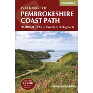
A guid to walking the Pembrokeshire Coast Path National Trail between Amroth near Tenby and St Dogmaels by Cardigan.Covering 290km (180 miles) and over 10,500m of ascent, this trail takes around 2 weeks to hike. The route is described from south to north in 14 stages between 15 and 27km (9-17 miles) in length.An abbreviated route description is also given for those walking the route north to south, as well as alternate routes to avoid high tide and military range closures. Contains step-by-step description of the route alongside 1:100,000 OS maps Includes a separate map booklet containing OS 1:25,000 mapping and route line The book features a handy trek planner that highlights information about accommodation, facilities and public transport along the routeSized to easily fit in a jacket pocket
| Status | Price | Shop | |||
|---|---|---|---|---|---|
|
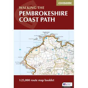
Cicerone Press Pembrokeshire Coast Path Map Booklet : 1:25,000 Os Route Mapping | ✔ Check At Store | £11.91 |
Whsmith.co.uk
|
See It |
|
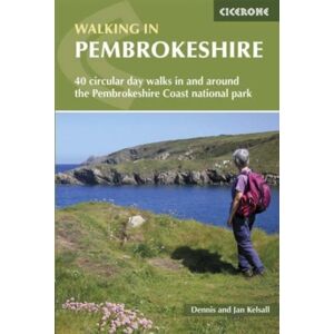
Cicerone Press Walking In Pembrokeshire : 40 Circular Walks In And Around The Pembrokeshire Coast National Park | ✔ Check At Store | £13.75 |
Whsmith.co.uk
|
See It |
|
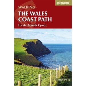
Cicerone Press Walking The Wales Coast Path : Llwybr Arfordir Cymru | ✔ Check At Store | £18.35 |
Whsmith.co.uk
|
See It |